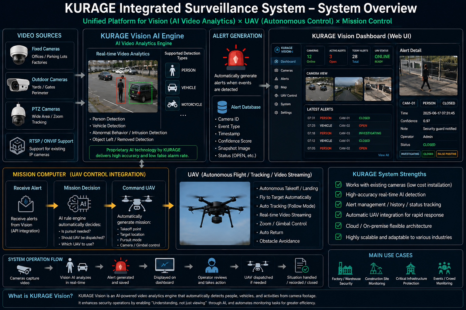
CUSTOM FLIGHT CONTROLLER DEVELOPMENT
Built on Custom
STM32H743 Flight
Controller Architecture.
Custom STM32H743 flight controller development for UAV platforms — including PCB design, ArduPilot integration, hwdef configuration, MAVLink telemetry, firmware optimization, and prototype manufacturing support.
STM32H743
MAVLink
ArduPilot
PX4
ONNX Runtime
Browser GCS
View Details
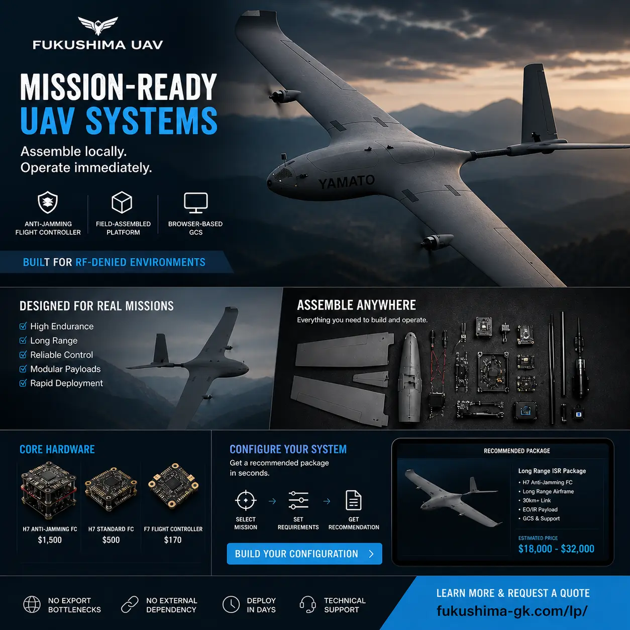
DEPLOYMENT PACKAGE
Designed for local assembly and operational deployment.
FUKUSHIMA UAV provides field-assembled UAV packages combining anti-jamming flight control,
browser-based GCS, mission configuration, and deployment support.
Request Custom Package